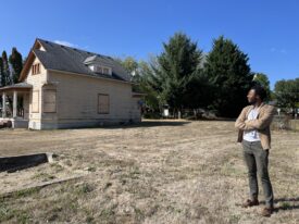
(See the map of estimated rural growth around Portland from Measure 37 claims here.)
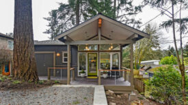
New Residents in Portland Suburbs (Clark County), 1990-2000
This article was written 16+ years ago
, 1990-2000")
, 1990-2000")
(See the map of estimated rural growth around Portland from Measure 37 claims here.)