[swfobj src=”http://www.sightline.org/wp-content/uploads/2012/03/Pollu_Rainier_04anim.swf”]
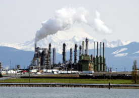
Urban Air Pollution Travelling to Mount Rainier
This article was written 20+ years ago

[swfobj src=”http://www.sightline.org/wp-content/uploads/2012/03/Pollu_Rainier_04anim.swf”]